If you live in Florida, hurricane season isn’t an abstraction: it’s June 1 through November 30, every year, and the question isn’t whether a storm will threaten your area eventually, it’s whether you’ll be ready when it does. The problem most Florida households run into isn’t a lack of information. It’s that the information is scattered across a state agency, your specific county, the National Hurricane Center, and a dozen news segments, and none of them hand you the whole picture in one place.
This guide does that: your evacuation zone, how to get alerted when it matters, where the official evacuation routes are, and the state-specific (not generic Ready.gov) guidance built for Florida conditions. Bookmark this page before hurricane season starts, not after a storm is already in the Gulf.
Florida hurricane season at a glance
The Atlantic hurricane season runs June 1 through November 30 every year, with the historical peak in late August through September. NOAA’s 2026 seasonal outlook called for a below-normal season, reaffirmed in an August update, but “below normal” is a statewide average across the whole Atlantic basin, not a guarantee for any single Florida county, and it takes exactly one storm making landfall near you to make the season-average number irrelevant to your household. Tropical Storm Bertha brought Gulf Coast flooding and beach-erosion impacts to parts of Florida in July 2026, a reminder that even a “quieter” season still produces real, damaging storms.
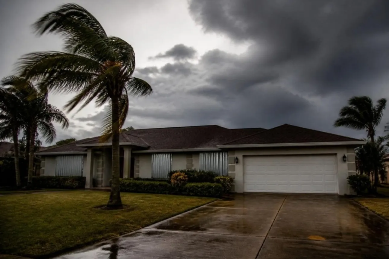
The practical takeaway: prepare on the same schedule every year regardless of the seasonal forecast. Outlooks are useful for emergency planners thinking about overall resource allocation; they’re not useful for deciding whether your household needs a plan this year.
Find your evacuation zone
Florida doesn’t use a single statewide evacuation trigger: each county maps its own evacuation zones (typically lettered A through E or F, with Zone A evacuating first as the most vulnerable to storm surge). You need to know your specific zone before a storm is bearing down, because evacuation orders are issued by zone, and “I’ll figure it out when they tell us to leave” is exactly the wrong plan for a fast-moving storm.
Use the state’s “Know Your Zone” tool to look up your zone by address:
Several counties also run their own local mirror of this tool: Pinellas County residents can use kyz.pinellas.gov and Palm Beach County residents can use the county’s own lookup directly. Either the statewide or your county’s version will give you the same answer; use whichever loads faster for you.
Once you know your zone, write it down somewhere you’ll see it (a note on the fridge, saved in your phone’s notes app) because you won’t want to be looking it up for the first time while also packing the car.
Sign up for alerts
Florida doesn’t have one unified statewide text-alert signup: alerts are primarily issued county by county, so the most important single thing you can do on this page is find your county’s system and sign up today, before you need it. All of the systems below are free and take a couple of minutes.
| County | System | Sign-Up Link |
|---|---|---|
| Miami-Dade | Miami-Dade Alerts | miamidade.gov/alerts |
| Broward | AlertBroward | broward.org/Emergency |
| Hillsborough (Tampa) | HCFL Alert | hcfl.gov |
| Pinellas | Alert Pinellas | pinellas.gov/alert-pinellas |
Don’t see your county above? Search “[your county] emergency alert sign up” or check your county’s Division of Emergency Management page: nearly every Florida county runs one of these opt-in systems (most built on the same Everbridge platform), and it’s worth the two minutes to find yours.
As a backup that doesn’t depend on cell service, BEACON (Broadcast Emergency Alerting and Communications Operations Network) is a newer FDEM system that delivers alerts over AM/FM/HD radio and a mobile app specifically designed to keep working when cell towers go down: worth knowing about even if your primary alert method is a county text system.
Florida Panhandle: county alerts and zone lookups
The Panhandle runs on county systems, and they are not the ones in the table above. From Pensacola to Apalachicola, each county sets its own evacuation zones and runs its own alert sign-up, so the first job is finding yours.
| County | Alert system | Sign-up link |
|---|---|---|
| Escambia (Pensacola) | Alert Escambia | Escambia sign-up |
| Walton | Alert Walton | Walton County sign-up |
| Bay (Panama City) | Alert Bay | alertbay.org |
| Gulf | Alert Gulf | Gulf County sign-up |
| Franklin (Apalachicola) | Alert Franklin | Franklin County sign-up |
Escambia County has its own address lookup, Know Your Zone, and the county says to check it every year because zones can change. Escambia also publishes pages for evacuation shelters and the special needs shelter. In other Panhandle counties, use the statewide Know Your Zone tool and then confirm with your county.
Zone letters mean different things in different counties. Zone A in Escambia is not the same area as Zone A in Bay, so never rely on a neighbor’s zone or a letter you remember from another county.
What is different on this coast
- Surge is a bay and sound problem as much as a beach problem. Pensacola Bay, Choctawhatchee Bay and St. Andrew Bay can push water inland. Look up your zone even if you live nowhere near the Gulf.
- Intensity can change fast. Hurricane Michael came ashore near Mexico Beach in October 2018, and a later NOAA review upgraded it to a Category 5 at landfall with winds near 160 mph. Treat a forecast category as a floor for your planning, not a ceiling.
- Slow storms flood inland. Hurricane Sally in September 2020 brought historic flooding to the Pensacola area.
- Outages can last long after the storm. Plan water, light and phone charging for days without power, not hours.
For the full supply list and a 72-hour timeline, see my hurricane preparedness checklist.
Evacuation routes
FDEM publishes official evacuation route maps by county:
Florida Evacuation Route Maps by County
These maps are reference tools: your county’s actual evacuation order (which zones, which routes, and when) comes from local emergency management, not from the map itself. During an active evacuation, check FL511, Florida’s official traveler-information system, for real-time road closures and traffic conditions rather than relying on the static map alone.
Official Florida resources
| Resource | What it’s for |
|---|---|
| Florida Division of Emergency Management (FDEM) | The state’s main hurricane and disaster preparedness hub. |
| Florida Hurricane Guide | FDEM’s own Florida-specific hurricane prep guide (English and Spanish), not a generic reprint of federal guidance. |
| Know Your Zone | Statewide evacuation zone lookup by address. |
| FL511 | Real-time road closures and traffic conditions during an evacuation. |
| NOAA National Hurricane Center | Live storm tracking, forecast cones, and advisories. |
| @FLSERT on X | FDEM’s official real-time account during active storm activations. |
For the broader set of federal and Red Cross resources referenced throughout this guide, see the site’s complete guide to FEMA, Red Cross & state emergency resources.
During an active storm
When a storm is approaching, planning research becomes real-time decision-making. A few things worth doing before that moment arrives, not during it:
- Know who issues your evacuation order (it’s your county, not the state or FDEM directly) and follow your county’s official channels (its emergency management page, its alert system, local news) rather than general national coverage for the actual order.
- Follow @FLSERT for statewide real-time updates alongside your county’s own channels.
- Don’t wait for a mandatory order if you’re in a vulnerable zone and have somewhere to go: voluntary evacuation windows exist precisely so people can leave before roads get congested.
- Fill your gas tank early. Stations near evacuation routes run out fast once an order is issued.
Building your kit
Everything above is about information, where to go and how to find out when. None of it substitutes for having supplies ready before a storm forces the decision. A few places to start on this site:
- Best emergency water filter for home: water planning for extended power/utility disruption.
- Free household water calculator: figure out exactly how much water to store before a storm.
- Building a bug-out bag for evacuation scenarios: what belongs in a grab-and-go kit versus a home supply.
- The complete FEMA/Red Cross/state resources guide for the national-level tools that complement everything above.
FAQ
Do I need to evacuate every time a hurricane is forecast to hit Florida? No: evacuation orders are zone-specific and storm-specific. Most Florida residents outside of Zone A/B storm-surge areas and mobile/manufactured homes are advised to shelter in place for most storms. Check your specific zone’s order rather than assuming a statewide evacuation.
How far in advance are evacuation orders usually issued? It varies by storm, but Florida counties typically aim to issue evacuation orders while there’s still daylight and before tropical-storm-force winds arrive, often 24–48 hours ahead of expected landfall. Don’t count on a long lead time. A storm’s track and intensity can change faster than that.
Is Know Your Zone the same as my flood zone? No: evacuation zones are about storm-surge risk and are set by your county’s emergency management agency for evacuation planning. Flood zones (the FEMA-designated ones relevant to flood insurance) are a separate system. Check both if you want the full picture: see the FEMA flood map lookup for your flood zone specifically.
What if I don’t have reliable internet or cell service to check these resources during a storm? This is exactly what BEACON (radio-based alerts) and a battery or hand-crank emergency radio are for, and it’s why writing down your evacuation zone and county alert sign-up status ahead of time, rather than planning to look them up in the moment, matters.